Official portal starting point
The New York geospatial resource is the first link to inspect. Confirm the page identifies a state agency or authorized program, then follow its catalog metadata to the actual data publisher. A statewide hub can aggregate local layers without maintaining them; attribution and update responsibility remain with the named office.
Look for the dataset title, responsible organization, contact, publication date, last edit date, geographic coverage, coordinate reference system, scale or accuracy note, use constraints, and download format. Record all of those details before combining a layer with assessment or recorded-document data. A polished viewer without metadata is weaker evidence than a plain official download with a clear lineage statement.
Read the layer stack
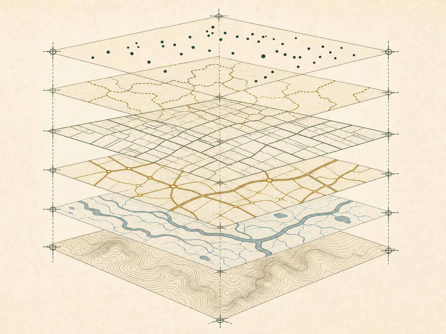
Terrain, hydrography, roads, address points, jurisdiction boundaries, parcels, zoning, flood hazards, and aerial imagery are maintained for different purposes. Their edges may not coincide, and each can have a different refresh cycle. Turn layers on one at a time, read the legend, and identify whether a label is computed, copied from an assessment system, or authored by the GIS publisher.
A parcel polygon helps navigate to an assessment record, but the line may be generalized, shifted, or incomplete. A road centerline does not establish frontage or access. An address point does not establish a postal delivery decision. A flood layer describes a separate program and effective map. When a question has legal or financial consequences, use GIS only to locate the official record that actually governs it.
Verification workflow
- Open the state hub and identify the named publisher.
- Read metadata, coverage, last-update, and disclaimer fields.
- Locate the local assessment or mapping office for the parcel.
- Copy the parcel identifier exactly and compare effective dates.
- Follow legal-description or instrument references to the recording office.
- Document uncertainty and consult a professional when boundaries matter.
County plates in New York
The directory includes 15 high-population county equivalents from New York. Inclusion is based on the 2024 Census estimate, not on parcel-layer completeness. Return to the New York property-record guide for the office model.
GIS questions
Does the New York portal contain every parcel?
Do not assume complete parcel coverage. Read the layer description, publisher, update date, and jurisdiction list before using it.
Are displayed lines survey grade?
No. A web layer is normally a reference graphic. Boundary evidence comes from recorded descriptions and a qualified survey.
Can GIS show ownership?
A layer may repeat an assessment-name field, but that is not proof of current title and Parcelway does not provide people-search functions.
Related field guides
Review the national GIS portal guide, parcel GIS accuracy, reading a tax map, boundary questions, assessment records, geocoding, the GIS definition, and verification policy.
Official sources
Checked on . Links go to the maintaining public agency or an official federal reference. A portal link does not imply that every record is available online.
- New York geospatial resourceState government
- Census TIGERwebU.S. Census Bureau
- USGS The National MapU.S. Geological Survey