Anatomy of a U.S. street address
How primary numbers, street names, suffixes, directionals, secondary units, city names, state abbreviations, and ZIP Codes work together.
Target hub / address systems
Understand postal format, local situs addresses, unit designators, directionals, ZIP Codes, geocoding, and the limits of address matching.
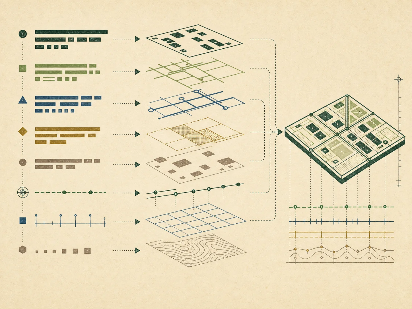
A U.S. address can serve postal delivery, emergency response, navigation, taxation, utility service, or local administration. The same place may therefore have a mailing address, situs address, rural route history, municipal label, and standardized form. Preserve the source and purpose before normalizing text, because a directional, unit designator, hyphen, or leading zero can distinguish records.
The guides in this atlas begin with USPS Publication 28, Census geocoding resources, and the federal address-data standard. They explain format and matching without implying that an address proves residence, identity, ownership, or a legal boundary. For land research, an address is usually a starting clue that must be connected to a jurisdiction, parcel identifier, legal description, and official record date.
Key answers
20 indexed plates
How primary numbers, street names, suffixes, directionals, secondary units, city names, state abbreviations, and ZIP Codes work together.
How Publication 28 describes preferred address elements and why mailing format is not the same thing as legal situs.
A practical reading guide to AVE, BLVD, CIR, CT, DR, HWY, LN, PKWY, PL, RD, ST, TER, and related forms.
Why N, S, E, W and compound directionals can distinguish otherwise similar street names.
How apartment, building, floor, room, suite, trailer, and unit designators are placed and interpreted.
How postal city names, state abbreviations, and ZIP Codes support delivery without defining property boundaries.
How rural route and highway contract formats differ from conventional numbered street addresses.
Why a mailing address can be different from the physical location used by an assessor or emergency service.
Why an urbanization name is a distinct address element in many Puerto Rico addresses.
How hyphens and ranges may encode local numbering systems and why punctuation should be preserved.
ZIP Codes are USPS routing constructs, not cadastral boundaries or proof of municipal jurisdiction.
The difference between parsing, standardizing, geocoding, delivery validation, and confirming a physical location.
How an address is compared with reference ranges or points and why a match is not evidence of ownership.
A research workflow for comparing postal, emergency-service, assessor, and recorded-document references.
Why a street address is a convenience label while a legal description identifies land for conveyance.
How city labels, postal routes, county lines, and tax jurisdictions can describe different geographic systems.
Which local offices may assign an address before it appears in postal, assessment, or GIS systems.
A source hierarchy for USPS conventions, local assignment, Census geocoding, assessment records, and emergency addressing.
Why dropping unit designators, leading zeroes, hyphens, or directionals can point to the wrong record.
A repeatable, privacy-conscious process for locating the right jurisdiction and official public record office.
Move between the property-record guides, state directory, county directory, addressing standards, parcel concepts, GIS portal guide, glossary, and official source register. Each page states its verification date and separates observed official facts from conservative research guidance.
Browse phone number lookup pages on VeriPages. Four entries are selected from the current daily pool.