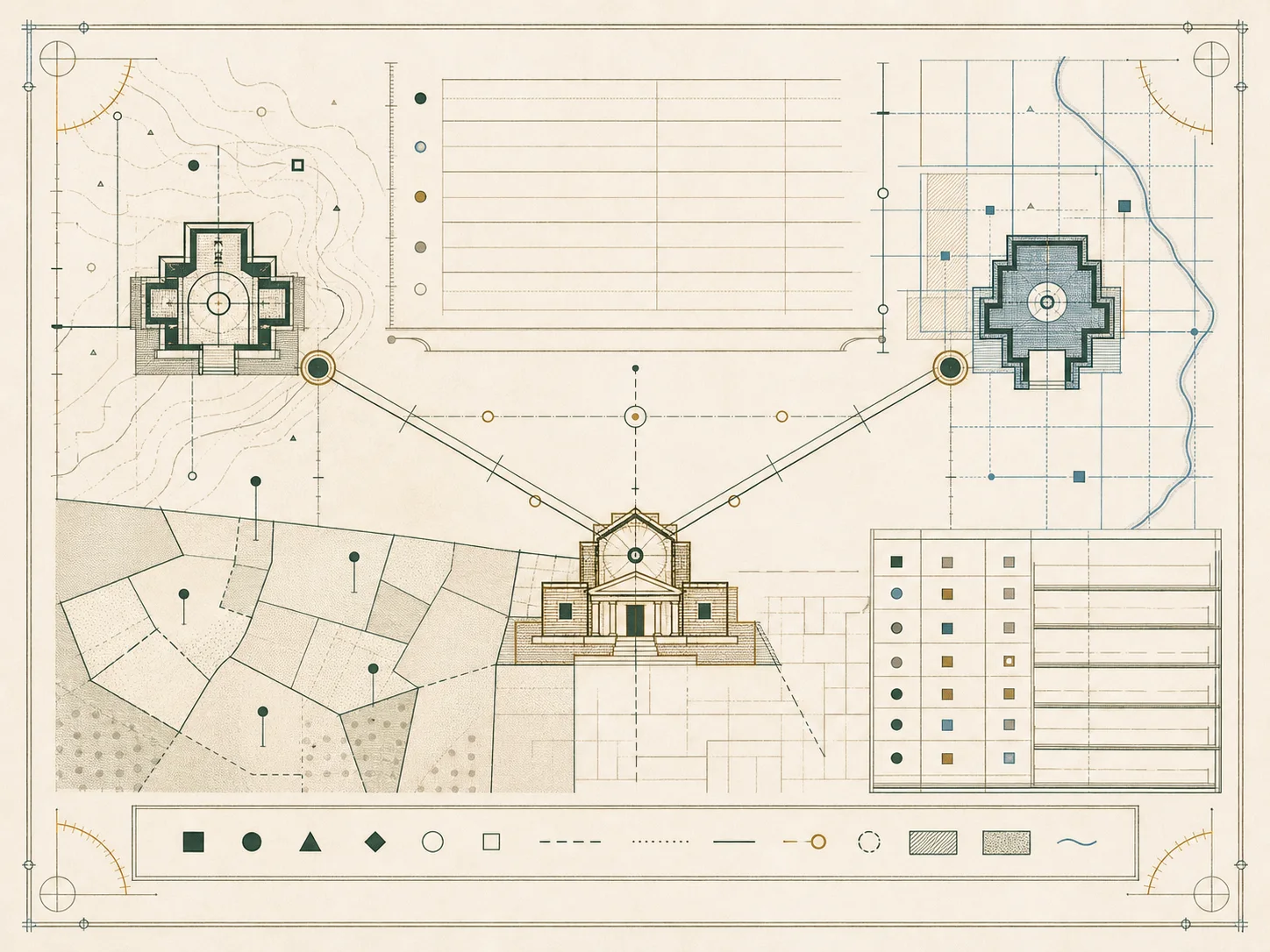
Source hierarchy
Parcelway prefers the agency that maintains the field being described. Postal-format claims begin with USPS Publication 28; geocoding and county-population scope begin with Census Geocoder and the Census population-estimates program; cadastral concepts begin with BLM Cadastral Survey and FGDC Cadastral Data Content Standard; map context can use Census TIGERweb and USGS The National Map.
State pages cite the state tax, assessment, revenue, equalization, or local-government authority plus an official geospatial resource. County plates use the state directory when a direct local link has not been confirmed. A vendor portal can be an authorized access layer, but Parcelway does not promote it as an independent source and does not infer coverage from its appearance in general search.
County population scope
The county index is selected from the U.S. Census Bureau Vintage 2024 county population estimates. The source file contains county-equivalent names, state and county FIPS components, and annual estimates. Parcelway filters out state-total rows, sorts county equivalents by the 2024 estimate, and publishes the first 300.
Population is used only to define an auditable coverage rule. It does not rank government offices, record completeness, public access, data quality, or the legal importance of a county. Connecticut planning regions and other county equivalents follow the Census source. The displayed FIPS code is kept as a five-character text value so leading zeroes are not lost.
Address and cadastral standards
Publication 28 explains preferred postal-address elements and abbreviations. The Census Geocoder documents address matching to Census geographies. Federal Geographic Data Committee standards provide a broader model for address and cadastral data. These references describe formats and data exchange; they do not prove postal delivery, legal situs, title, or a surveyed boundary for a particular property.
BLM cadastral material explains federal survey responsibilities and the Public Land Survey System context. Local deeds, plats, assessor maps, and parcel identifiers remain jurisdiction-specific. Parcelway therefore avoids generated APNs, deeds, owner names, street addresses, or “example records” that could be mistaken for actual public data.
Verification dates and unresolved fields
Each data record stores a source URL and a verified-on date. The build validator rejects state or county entries without that date and rejects county pages with fewer than six substantive fields. An online-search flag remains conservative unless the cited government directory supports it. County-specific fees and parcel-number formats are not generalized from another county.
Links and agency structures can change. A verification date means the cited page was used for this release, not that a dynamic portal will remain unchanged. Readers should recheck the maintaining agency for current coverage, fees, deadlines, certified-copy rules, and legal requirements. See How we verify for the complete editorial control process.