Ad valorem
A tax calculated according to value, commonly used for real property taxation.
DefinedTerm set / 30 entries
Plain-language definitions for parcels, deeds, assessment, GIS, PLSS, addresses, recording indexes, and land-description terms.
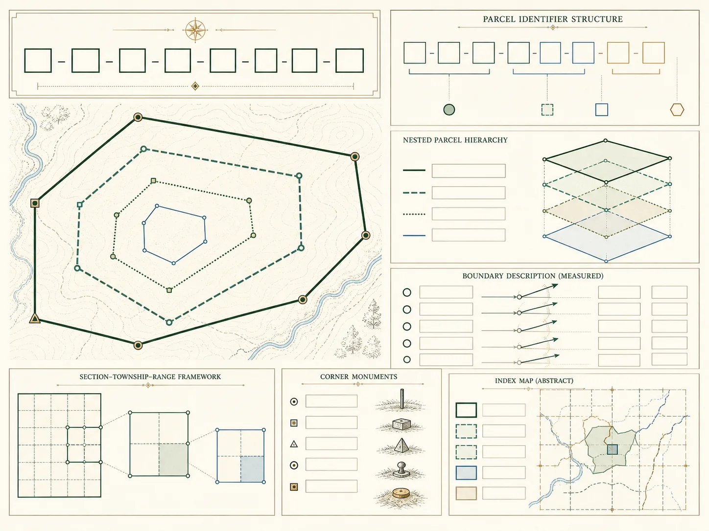
Property-record vocabulary changes with jurisdiction and office. APN, PIN, folio, account, map and lot, block, tract, instrument, book and page, situs, and assessed value can each have a local definition. The glossary offers plain-language orientation while preserving that local context. It is not a substitute for a statute, data dictionary, deed, plat, or agency instruction.
Each term page explains how to use a label in research, what fields to compare, and where its evidentiary limits begin. Definitions link to federal cadastral, address, or Census sources for context. When a local government publishes a different meaning, the local source controls. Record the exact label, jurisdiction, effective date, identifier, and source URL rather than silently translating it into a familiar but unsupported term.
Key answers
30 indexed plates
A tax calculated according to value, commonly used for real property taxation.
A fractional subdivision of a Public Land Survey System section.
A locally assigned identifier used to index an assessment parcel.
The value placed on property for tax administration under local law and timing rules.
The public office or official responsible for classifying and valuing property for taxation.
A group of lots or a map-index unit; meaning depends on the plat or local assessment system.
Relating to the boundaries, location, and administrative description of land parcels.
The sequence of instruments through which an interest in land has been transferred.
A written instrument used to convey an interest in real property.
A nonpossessory right to use land for a stated purpose.
The date for which a valuation, layer, or administrative record is intended to apply.
A local parcel or tax-account identifier used in some jurisdictions.
A system that matches address text to geographic reference data and returns a location or geography.
Software and data used to manage, analyze, and display information tied to location.
Parties indexed as transferring and receiving an interest in a recorded instrument.
A recording office identifier assigned to a filed document.
Words and references used in an instrument to identify land.
A claim or encumbrance that may secure payment or performance.
A numbered or labeled unit created on a recorded plat or used by a local map system.
A land-description method using courses, distances, monuments, and a point of beginning.
A tax-rate expression based on mills per unit of taxable value.
An administrative land unit used by an assessor or mapping authority.
One of several local labels for a parcel or property tax account identifier.
A map of a subdivision, survey, or other land division prepared and often recorded under local law.
The federal rectangular survey framework used in much of the United States.
The office that accepts, indexes, and preserves land and other public instruments.
Land or an interest reserved for travel, utilities, or another corridor use.
In PLSS usage, a nominal one-square-mile unit within a township, subject to survey variation.
The physical-location address used by an assessor or local government for a property.
A PLSS survey unit or, in other contexts, a form of local government; context controls the meaning.
Move between the property-record guides, state directory, county directory, addressing standards, parcel concepts, GIS portal guide, glossary, and official source register. Each page states its verification date and separates observed official facts from conservative research guidance.
Browse phone number lookup pages on VeriPages. Four entries are selected from the current daily pool.