Parcelway / U.S. public-record field atlas
Find official U.S. property records and parcel sources
Parcelway explains which public office maintains assessments, recorded instruments, parcel identifiers, addresses, and GIS layers. Start with the correct jurisdiction, follow the cited government source, preserve identifiers and dates, and never treat an index or map as proof of title, residence, or a surveyed boundary.
Key answers
- Assessors maintain valuation and parcel-account records.
- Recorders or clerks preserve deeds and other land instruments.
- GIS portals provide reference geometry, not surveyed boundaries.
Atlas layers
Which public system has the record you need?
Addressing
Postal formatting, local assignment, situs references, directionals, secondary units, ZIP Codes, and geocoding limits.
Parcels
APN and PIN fields, splits and merges, tax maps, legal descriptions, plats, PLSS, and boundary cautions.
Property records
Assessment cards, deeds, indexes, fees, dates, certified copies, and source-quality checks.
GIS portals
Publishers, layer metadata, refresh dates, accuracy statements, legends, and responsible use.
Why the layers differ
An address is not a parcel. A parcel is not a deed.
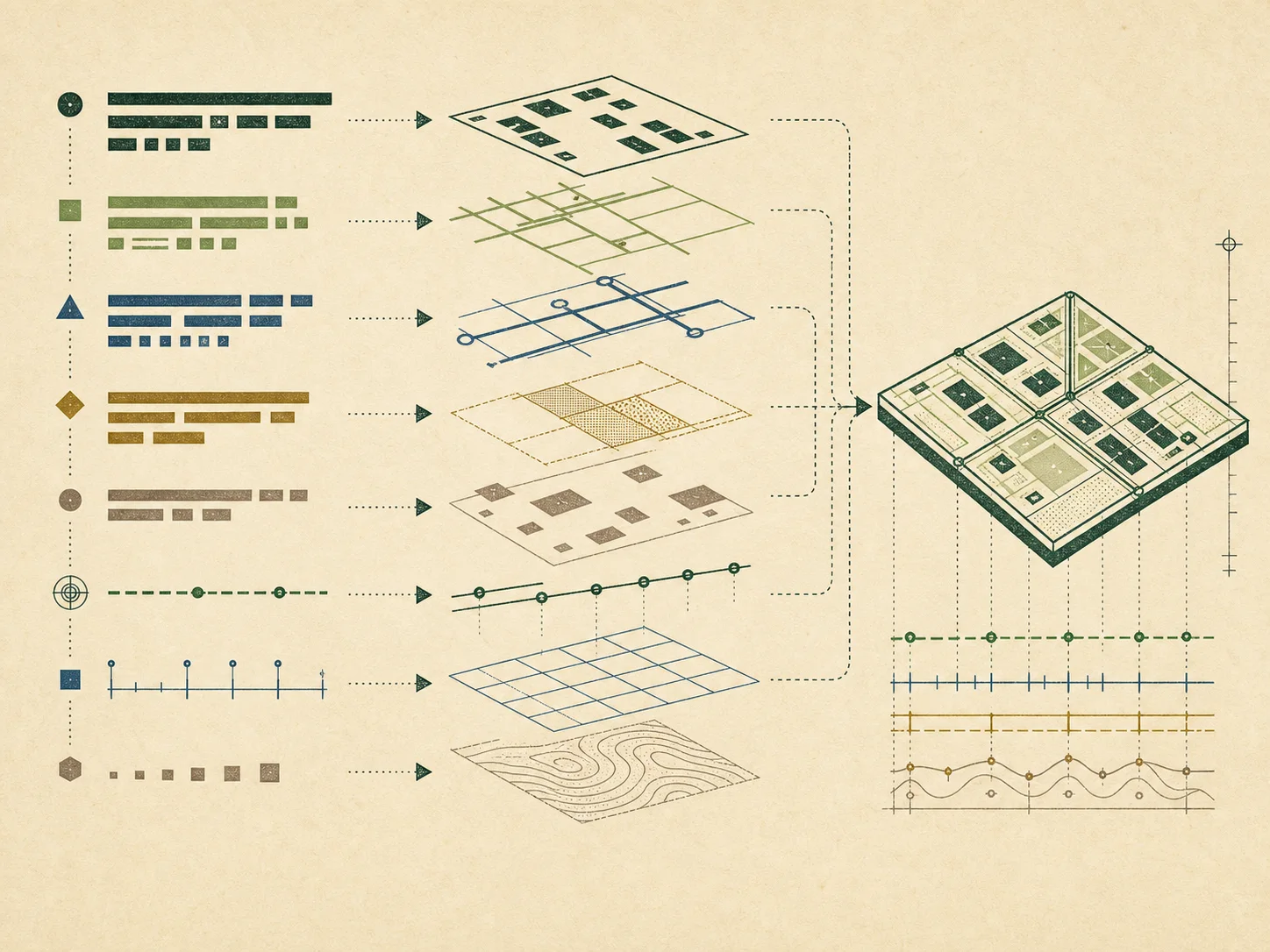
A mailing address supports delivery. A situs address helps an agency describe physical location. An assessor creates an administrative parcel or account for valuation. A recorder preserves instruments. A GIS publisher draws reference geometry. These systems can share identifiers, yet they answer different questions and update on different dates.
Parcelway keeps those distinctions visible. Every state and county plate records a verification date and links to official government sources. When a direct local portal is not confirmed, the page says so and routes through a state directory instead of inventing a search link, fee, record type, or parcel-number pattern.
The site never turns an address into a person-search query. A name appearing in an assessment field is not treated as proof of residence or current title. For a boundary, transaction, legal dispute, or title decision, consult the recorded instrument and an appropriate professional.
Coverage / verified 2026-07-29
A national index with local caution
State and DC guides
Office models, disclosure context, official property-tax authorities, and state GIS starting points.
County-equivalent plates
Selected by 2024 Census population estimate, with FIPS identifiers and conservative access notes.
Methods and terms
Atomic guides that move upward into address, parcel, GIS, and record-reference hubs.
Field method
Six checks before you rely on a portal
- Identify the state, county equivalent, municipality, and exact record type.
- Confirm the publisher through an official government landing page.
- Copy identifiers exactly, including punctuation and leading zeroes.
- Read coverage, effective date, last update, and disclaimer fields.
- Compare one independent field before joining records across systems.
- Document uncertainty and ask the maintaining office when facts conflict.
Continue
Begin with finding official property records, then read assessor versus recorder. Learn why an address differs from a legal description, how to handle parcel identifiers, and why GIS parcel lines have limits. Consult the glossary, source register, and verification policy at every stage.
Independent and educational. Parcelway is not affiliated with a government office and does not provide title, appraisal, survey, legal, tax, or people-search services.