How to find official property records
Start with the jurisdiction, separate assessment from recording, and follow only official office links.
Target hub / public records
Learn how assessment, recording, tax, deed, and GIS systems connect—and how to verify each result with the maintaining public office.
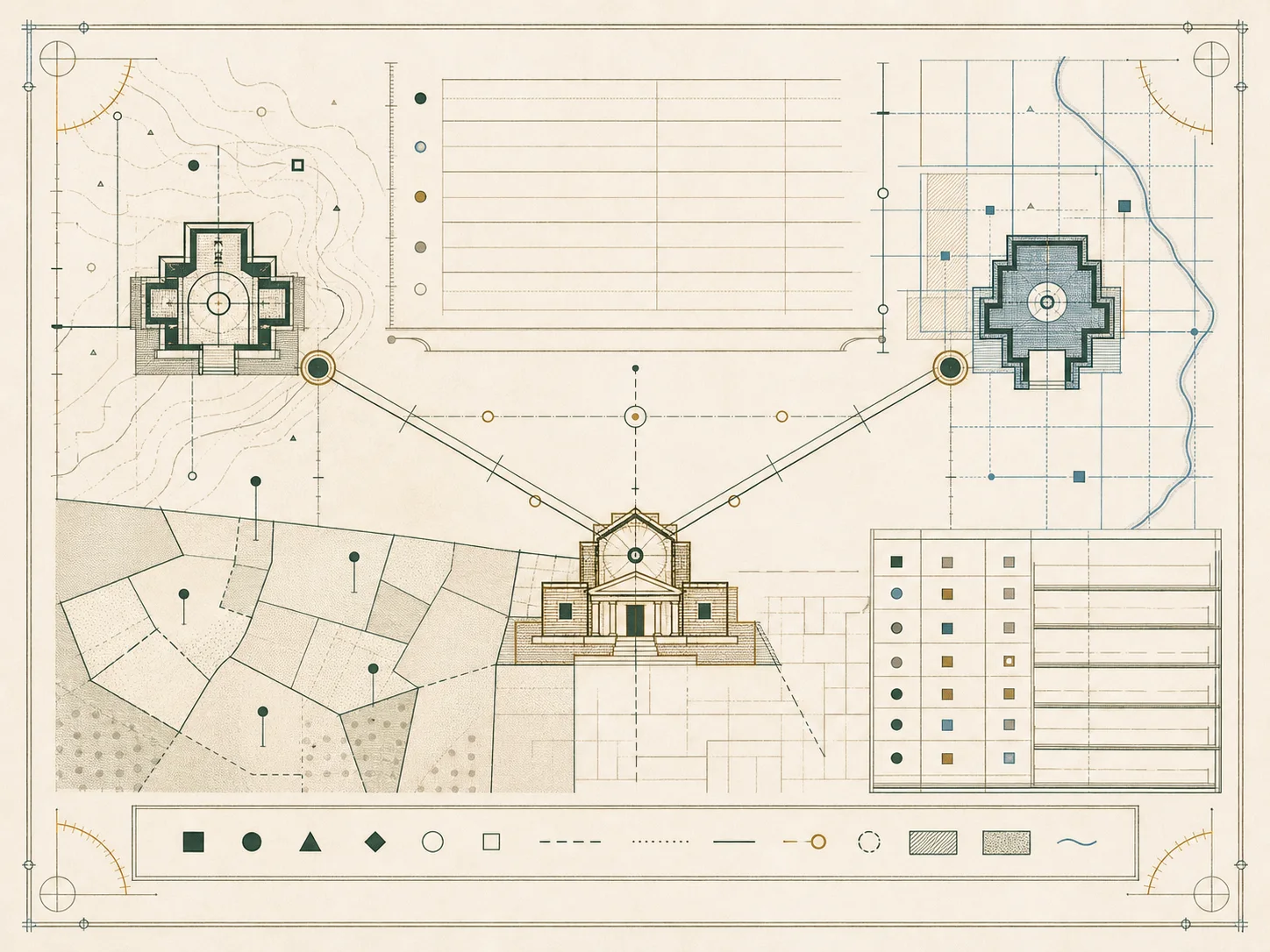
Property records are not one database. Assessment offices value and classify property, recording offices preserve instruments, treasurers or collectors handle bills and payments, planning agencies maintain zoning, and GIS teams publish spatial reference layers. A reliable search begins by naming the record type and jurisdiction before entering an address or parcel number.
This guide cluster uses a three-level path: the hub explains the system, each field guide closes one research intent, and state or county plates lead to official agencies. Every guide separates observed government information from general workflow. Portal access can change, older indexes may remain offline, and a displayed name, transfer line, value, or boundary never carries more authority than the underlying record.
Key answers
25 indexed plates
Start with the jurisdiction, separate assessment from recording, and follow only official office links.
The assessor values and classifies property; the recorder or clerk preserves instruments affecting title.
A field-by-field guide to parcel identifiers, situs, legal description snippets, values, exemptions, and tax years.
How deeds, mortgages, releases, liens, plats, easements, and other instruments are indexed.
Use grantor-grantee indexes, parcel references, book and page, or instrument numbers without assuming any one index is complete.
How taxing districts, assessed values, rates, exemptions, installments, and delinquency information relate.
Why displayed transfers vary across disclosure and non-disclosure states and may omit non-market transactions.
How to identify the publisher, layer date, legend, coordinate system, and disclaimer before relying on a map.
How to distinguish an assessor, appraiser, auditor, treasurer, clerk, recorder, register, and registry.
Why Connecticut, Massachusetts, New England towns, and some other jurisdictions do not fit a county-only model.
Why free index access differs from paid document images, certification, subscriptions, and bulk-data charges.
Assessment year, effective date, recording date, posting date, and GIS refresh date can all differ.
Check the domain, office identity, coverage statement, update date, disclaimer, and link path.
Try alternate identifiers, prior parcel numbers, spelling variants, municipal offices, and offline indexes.
Use records for legitimate land and administrative questions, not to profile, contact, or locate individuals.
A web index is not a title opinion, boundary survey, tax clearance, or guarantee of legal ownership.
How valuation notices, filing windows, evidence, hearings, and boards of review commonly fit together.
How field definitions, suppression, licensing, refresh cadence, and joins affect analysis.
Record the jurisdiction, URLs, search terms, identifiers, dates checked, and unresolved questions.
A compact verification checklist for assessment, recording, GIS, tax, and Census sources.
Why one physical holding can span parcels, tax districts, municipalities, or county lines.
How older books, microfilm, archived plats, prior parcel maps, and renamed jurisdictions affect research.
How to document an apparent error and contact the maintaining office without treating a third-party copy as authoritative.
Practical options when a portal is inaccessible, including office assistance, alternate formats, and written requests.
Capture the office, record type, identifier, jurisdiction, retrieval date, and durable official URL.
Move between the property-record guides, state directory, county directory, addressing standards, parcel concepts, GIS portal guide, glossary, and official source register. Each page states its verification date and separates observed official facts from conservative research guidance.
Local remodeling guide
Compare five Eastside contractors by project fit, published credentials, design support, waterproofing details, and permit considerations.
Browse phone number lookup pages on VeriPages. Four entries are selected from the current daily pool.