What a parcel represents
A parcel is an administrative land unit used for assessment or mapping; it is not necessarily the same as a legal lot.
Target hub / cadastral systems
Read parcel numbers, tax maps, legal descriptions, plats, assessment fields, GIS layers, and boundary limitations with official-source context.
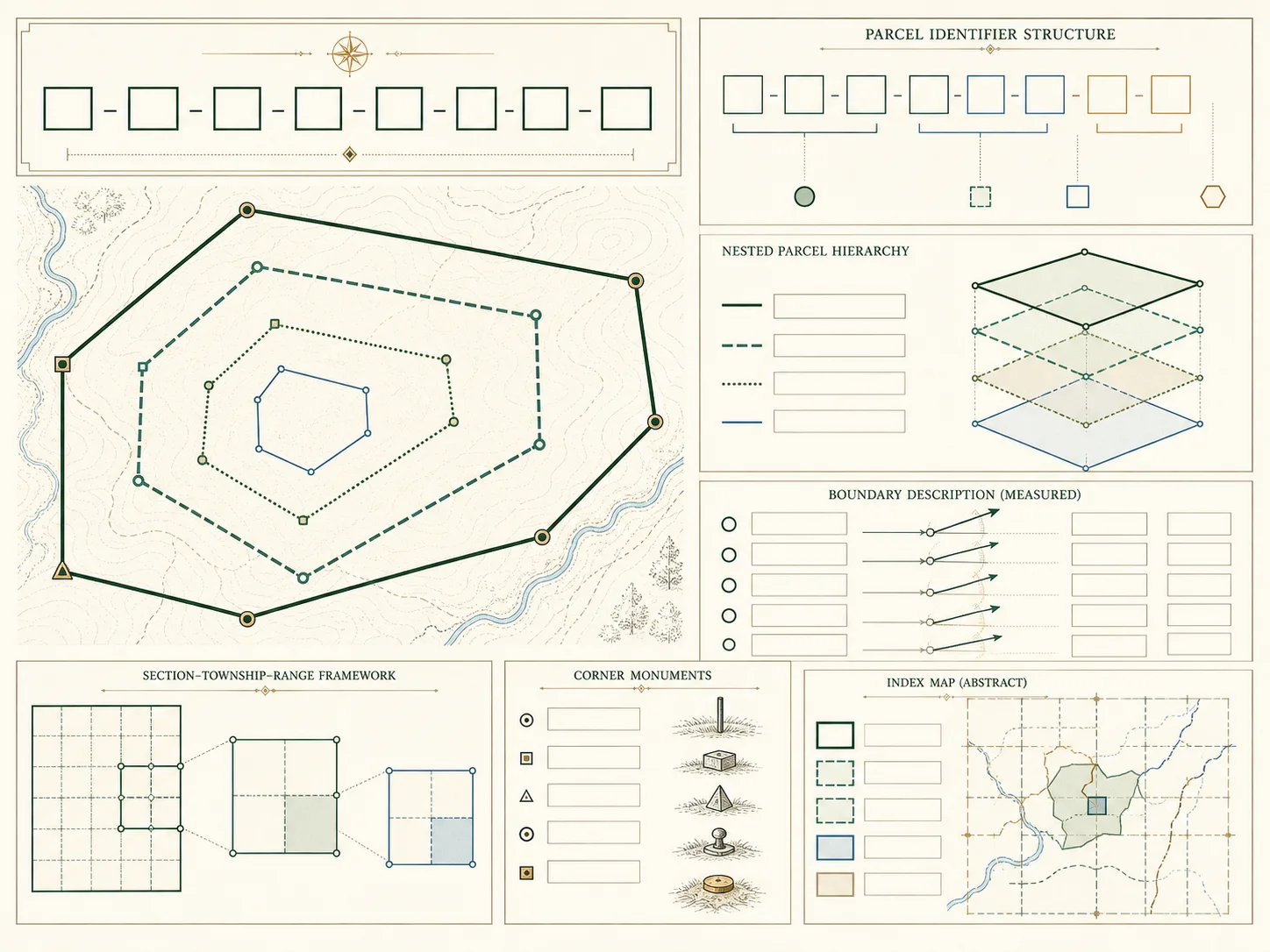
A parcel is an administrative unit used by an assessor or mapping authority. It can resemble a platted lot or deeded tract without being identical to either one. Parcel identifiers are local strings, and map geometry is normally a reference layer rather than a survey. Splits, combinations, condominium units, manufactured homes, and software migrations can all change the apparent relationship between a number and land.
This cluster explains APN, PIN, folio, map-and-lot, PLSS, metes and bounds, plat references, tax maps, easements, assessed values, and data downloads. The consistent method is to preserve formatting, compare effective dates, follow official cross-references, and consult the recorded instrument. Parcelway does not infer an owner or resident from a map label and never presents an illustrative diagram as an actual parcel.
Key answers
20 indexed plates
A parcel is an administrative land unit used for assessment or mapping; it is not necessarily the same as a legal lot.
How local offices use APN, PIN, PID, folio, map-and-lot, or similar labels to index assessment records.
Why parcel identifiers should be copied exactly and treated as strings, not ordinary numbers.
Why a current parcel may descend from several retired identifiers after a subdivision, lot line change, or combination.
Why a mapped tax parcel, platted lot, and conveyed tract can overlap without being identical concepts.
A plain-language guide to township, range, section, aliquot parts, and the limits of PLSS shorthand.
How courses, distances, monuments, and points of beginning describe a boundary.
How recorded plats create lot, block, tract, and subdivision references used in deeds and assessor systems.
Why a unit can have its own assessment identifier while sharing common elements and land interests.
Why a manufactured home may be assessed as real or personal property depending on title and local law.
Why a visible parcel boundary does not show every access, utility, or conservation interest affecting the land.
How map sheets, block labels, dimensions, and adjoining identifiers support navigation but do not replace a survey.
Why parcel layers are commonly planning or assessment references rather than survey-grade boundary evidence.
Why an assessment name is an administrative field and should not be treated as proof of current legal title.
How assessment ratios, exemptions, valuation dates, and appeal cycles affect displayed values.
A source-first workflow for using an assessor reference to locate the relevant recording office and instrument.
Why flood maps, zoning districts, and parcels answer different questions and update on different schedules.
When a licensed surveyor, title professional, attorney, or local official is needed instead of a web map.
How to read licenses, refresh dates, field dictionaries, coordinate systems, and completeness notes.
A careful sequence for finding the jurisdiction, copying the identifier, checking record dates, and following official sources.
Move between the property-record guides, state directory, county directory, addressing standards, parcel concepts, GIS portal guide, glossary, and official source register. Each page states its verification date and separates observed official facts from conservative research guidance.
Browse phone number lookup pages on VeriPages. Four entries are selected from the current daily pool.