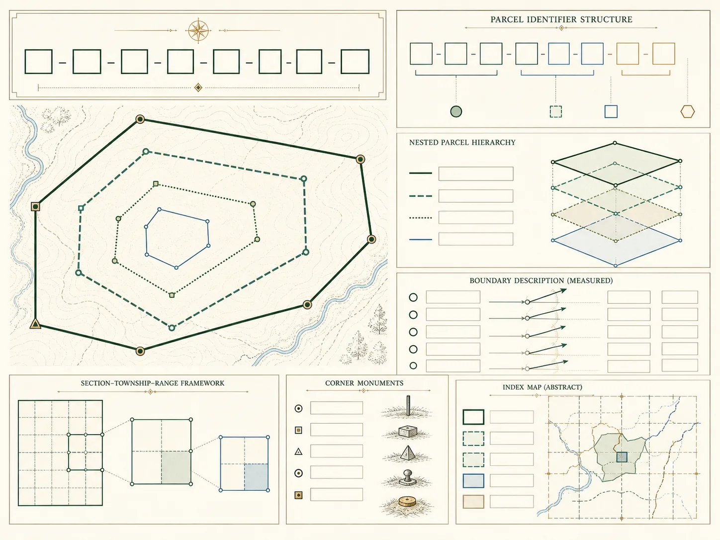
What parcel gis accuracy means
Why parcel layers are commonly planning or assessment references rather than survey-grade boundary evidence. The useful starting point is scope: an official field usually exists for a particular administrative purpose, on a particular date, inside one jurisdiction. It should not be stretched into proof of ownership, residence, identity, marketability, boundary location, or postal deliverability unless the maintaining agency expressly says that the field answers that question.
For parcel gis accuracy, retain the spelling, punctuation, leading zeroes, directionals, unit markers, and date context shown by the source. Small differences can separate two records or reveal that one system has not yet synchronized with another. Parcelway treats the value as a lookup key and teaches how to follow it to an official source; it does not turn the value into a profile of a person.
A source-first research workflow
First establish the state, county or county equivalent, and municipality when local assessment is municipal. Then identify which office maintains the exact record type. Assessment data, recorded instruments, tax collection, zoning, emergency addressing, postal routing, and GIS layers can be published by different agencies. Search the official directory before using a general web result, and record the URL and retrieval date.
Next search with the most stable key available. That may be a parcel identifier, instrument number, book and page, legal-description fragment, or standardized parcel record. Compare the result with at least one independent field such as jurisdiction, map sheet, recording date, or legal-description text. If the details conflict, stop and ask the assessor, recorder, or GIS publisher; do not silently combine two records.
Limits and common mistakes
A public web portal is an access layer, not the underlying legal record. It may omit images, older volumes, pending changes, suppressed fields, retired parcel numbers, or instruments that have not completed indexing. A map can be generalized for display, and a displayed boundary can shift at different zoom levels. “No result” therefore means only that the attempted query did not return a result in that interface.
Avoid inferring a person’s identity or current location from an address or assessment-name field. Avoid treating a mailing address as a situs address, a tax parcel as a surveyed boundary, an assessed value as an appraisal, or a transfer line as a complete sale history. For a transaction, boundary decision, legal dispute, or title question, obtain the recorded instrument and qualified professional advice.
What to record in your notes
Write down the public office, jurisdiction, record type, exact identifier, displayed effective date, update statement, and the official URL. Note which facts were observed and which remain uncertain. When an image or downloadable dataset has a separate publication date or field dictionary, record those too. This simple research log makes later corrections traceable and keeps an administrative value from becoming an unsupported claim.
A strong citation names the agency and record rather than only pasting a search-result URL. Dynamic search links can expire, so preserve the office landing page and the stable record identifier. If you request a certified copy, record the order date, fee schedule, and certification type. Parcelway’s source lists are starting points; the maintaining office remains authoritative.
Five-step verification sequence
- Identify the state, county or county equivalent, and municipality.
- Choose the office that maintains the exact record type.
- Copy the official identifier and preserve its formatting.
- Compare jurisdiction, dates, and one independent reference field.
- Record the official URL, coverage note, and retrieval date.
Questions to resolve before relying on a result
Is parcel gis accuracy proof of ownership?
No. A portal field or lookup result is administrative evidence only. Review the recorded instrument and obtain professional advice when title matters.
Can an address be used to find a person here?
No. Parcelway explains public land-record systems and does not provide address-to-person or owner-search functionality.
What if the official portal returns no result?
Check jurisdiction, formatting, older identifiers, coverage dates, and offline access with the maintaining office. Do not infer that no record exists.
Continue through the atlas
Place this topic in context with the parcels hub, the state directory, the county directory, and the official GIS guide. Terminology is defined in the property-record glossary; source selection is explained in How we verify; the federal references are collected on Sources; and Parcelway’s limits are stated on About.
Names in assessment records
Why an assessment name is an administrative field and should not be treated as proof of current legal title.
Assessed value versus market value
How assessment ratios, exemptions, valuation dates, and appeal cycles affect displayed values.
From parcel record to recorded deed
A source-first workflow for using an assessor reference to locate the relevant recording office and instrument.
Parcel, flood, and zoning layers
Why flood maps, zoning districts, and parcels answer different questions and update on different schedules.
Boundary questions
When a licensed surveyor, title professional, attorney, or local official is needed instead of a web map.
Parcel data downloads
How to read licenses, refresh dates, field dictionaries, coordinate systems, and completeness notes.
Official sources
Checked on . Links go to the maintaining public agency or an official federal reference. A portal link does not imply that every record is available online.
- BLM Cadastral SurveyBureau of Land Management
- FGDC Cadastral Data Content StandardFederal Geographic Data Committee
- Census TIGERwebU.S. Census Bureau