Identify the publisher before the layer
A GIS search result can open an attractive map without making its authority clear. Begin at a government landing page and identify the agency responsible for the catalog, viewer, or dataset. If the link moves to a vendor-hosted portal, preserve the government page that establishes the relationship. A platform brand is not the data authority; the named public office, program, or local government is.
National references serve different purposes. Census TIGERweb supplies federal geographic context, USGS The National Map provides national topographic resources, and BLM Cadastral Survey explains cadastral survey work on federal lands. None should be assumed to replace a county assessment parcel layer, local zoning map, recorded plat, or boundary survey.
Read metadata as part of the map
Before turning on a layer, record its title, publisher, description, geographic coverage, publication date, last edit date, coordinate reference system, scale or accuracy note, license, and disclaimer. Those fields explain what a line or point was created to represent. If metadata is missing, contact the publisher rather than filling the gap with an inference.
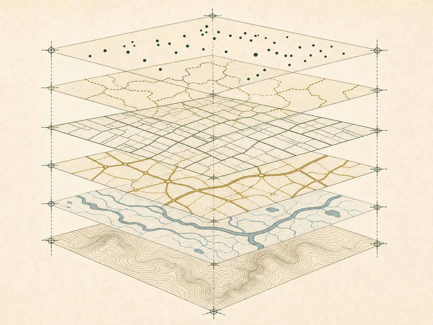
Refresh dates can differ within one viewer. A basemap, aerial image, parcel polygon, assessment label, road centerline, address point, flood zone, and municipal boundary may each come from a separate system. A single on-screen composition is therefore not a single observation date. Cite the individual layer and its metadata, not only the viewer URL.
Parcel geometry is a reference layer
Assessment parcel polygons support administration and navigation. They can be generalized, adjusted to imagery, clipped at jurisdiction boundaries, or carried forward from older mapping. A visually precise line is not necessarily survey-grade. Do not measure a setback, resolve an encroachment, establish access, or decide ownership from a browser map.
Use the polygon to find the parcel identifier and maintaining office. Then compare the assessment record, legal-description snippet, recorded plat or deed reference, and effective date. Where the position or legal effect of a boundary matters, a licensed surveyor and the recorded evidence are the appropriate sources. Parcelway’s generated graphics are always captioned “Illustration” and never presented as real parcels.
A six-point GIS check
For state-specific links, open the state directory and then its GIS plate. County plates identify the applicable office model and state geospatial starting point. The parcel GIS accuracy guide and portal workflow provide additional checks.
- Confirm the government publisher and responsible office.
- Capture the layer title, identifier, description, and update date.
- Read coverage, accuracy, scale, and use constraints.
- Copy parcel identifiers exactly, including punctuation and leading zeroes.
- Compare the map with an assessment field and recorded reference.
- Document uncertainty; do not infer a person, title, or surveyed boundary.