State record matrix
| Administration | local |
|---|---|
| Office pattern | County assessor and county clerk |
| Sale-price access | Recorded consideration or transfer data may be public, but coverage and display vary by locality; verify with the cited state authority and county recorder. |
| Typical fees | Online viewing is often free. Certified copies, bulk files, and recorded-document images may carry statutory or local fees; consult the official office before ordering. |
| Verified |
How West Virginia organizes property records
West Virginia uses a local administration model. The cited state guidance describes the working office pattern as: County assessor and county clerk. That distinction matters because an assessment lookup, a deed index, a tax-payment page, and a parcel map can live in separate systems even when they describe the same land. Start with the record type, then identify the maintaining office.
The state source is best used as an official directory and policy reference. It may point onward to a county, parish, borough, municipal, district, or vendor-hosted portal. Parcelway does not treat a vendor domain as independent authority: confirm that the state or local government links to it, read the coverage note, and preserve the government landing page in your research log.
Access, sale data, and fees
Recorded consideration or transfer data may be public, but coverage and display vary by locality; verify with the cited state authority and county recorder. A transfer line can represent a deed, family transfer, correction, nominal consideration, or another event that is not an open-market sale. Read the recorder’s instrument and the field definition before using a displayed amount.
Public access depends on the record type. Assessment summaries, recorded instruments, and GIS layers are maintained by different offices and may have separate search terms. Online viewing is often free. Certified copies, bulk files, and recorded-document images may carry statutory or local fees; consult the official office before ordering. Search access and copy access are different services. A free index may not include document images; a paid image may still be uncertified; and bulk files may have a separate license or refresh cadence. Confirm the current policy directly with the office before relying on cost or turnaround time.
West Virginia GIS and parcel layers
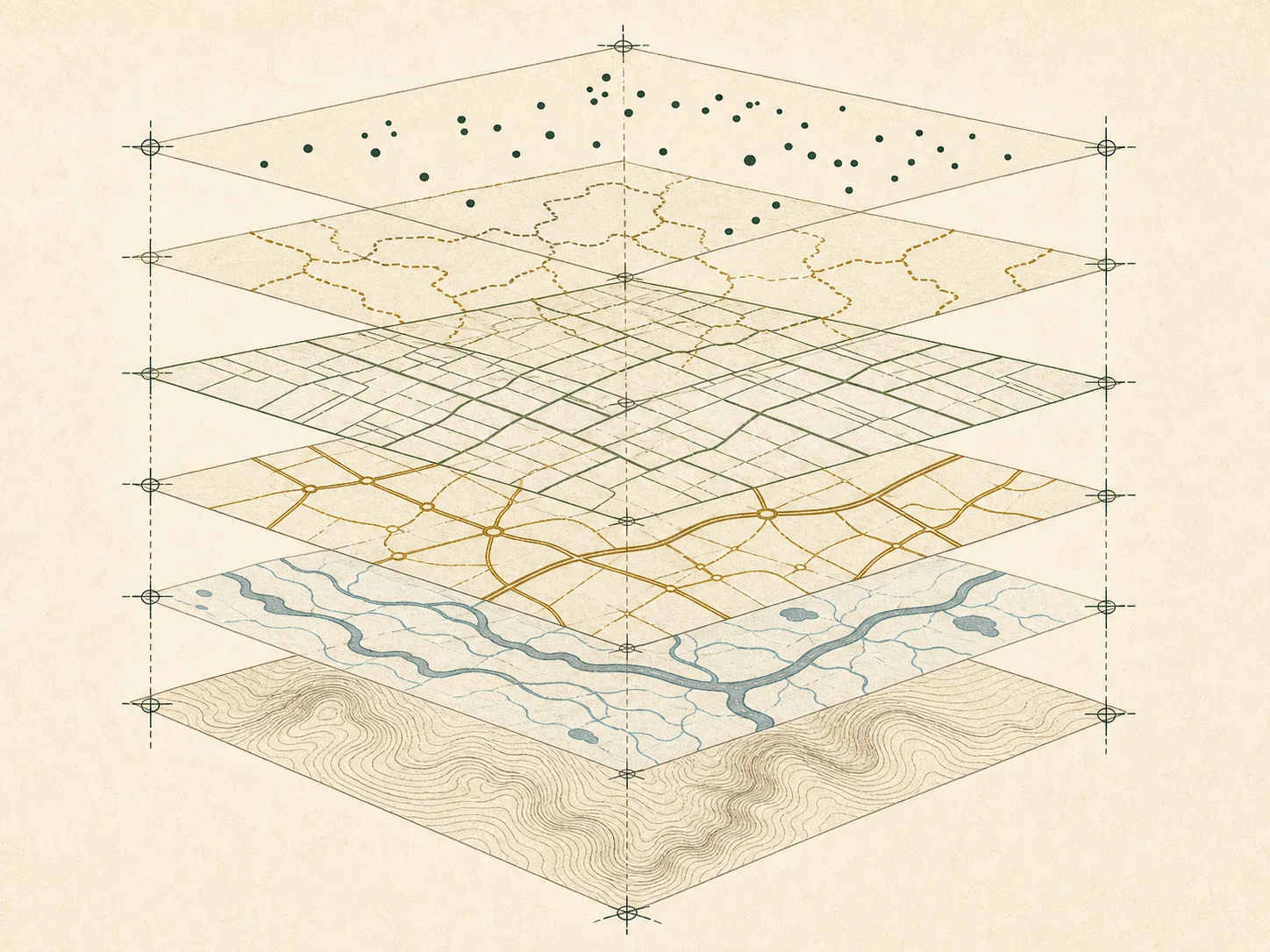
The state geospatial resource can help locate authoritative datasets, understand statewide coordinate systems, or find participating local publishers. It should not be assumed to contain a complete tax-parcel fabric. Review the layer owner, description, last update, disclaimer, scale, and download metadata. A statewide boundary or address point layer may be maintained for a different purpose than local assessment.
Use GIS as a navigation and comparison tool. If a line affects a purchase, construction plan, easement question, or boundary dispute, follow the map reference to the recorded description and consult the appropriate professional. Census TIGERweb is useful for federal jurisdiction context, but it does not replace a local assessment parcel layer or land survey.
Recommended lookup sequence
Confirm the county or county equivalent and municipality. Open the official West Virginia property authority, select the local jurisdiction, and identify the assessment office. Copy the parcel identifier exactly. Then locate the separate recording office and search its index with the identifier, legal description, or instrument reference that the office supports. Finally compare the effective dates and note any lag between systems.
If a portal does not return a result, try the official office directory, alternate parcel-number formatting, a prior identifier, or an offline request. Do not use an address-to-person lookup as a substitute. The objective is to identify the responsible public record and its administrative context, not to assemble a dossier about an individual.
Large counties and county equivalents in this state
These entries are included by 2024 Census population rank, not by portal quality. Open a county plate for the office model, conservative APN guidance, dates, and official source trail. Also compare the West Virginia GIS field guide.
State record questions
Does West Virginia have one statewide parcel database?
Do not assume so. Use the state authority to identify the local office and confirm the coverage of any statewide layer.
Are sale prices public in West Virginia?
Recorded consideration or transfer data may be public, but coverage and display vary by locality; verify with the cited state authority and county recorder.
Are online parcel lines legal boundaries?
No. They are reference graphics unless the publisher and applicable law say otherwise; boundary decisions require the recorded description and often a survey.
Cross-check the record type
Before searching, review assessor versus recorder, using an official GIS portal, assessor parcel numbers, address versus legal description, the county directory, the glossary, federal sources, and Parcelway’s verification method.
Official sources
Checked on . Links go to the maintaining public agency or an official federal reference. A portal link does not imply that every record is available online.
- West Virginia property-tax authorityState government
- West Virginia geospatial resourceState government
- Census TIGERwebU.S. Census Bureau