Sunday, September 1st, 2013 at 11:42 am by ba3 — Category: Demo News
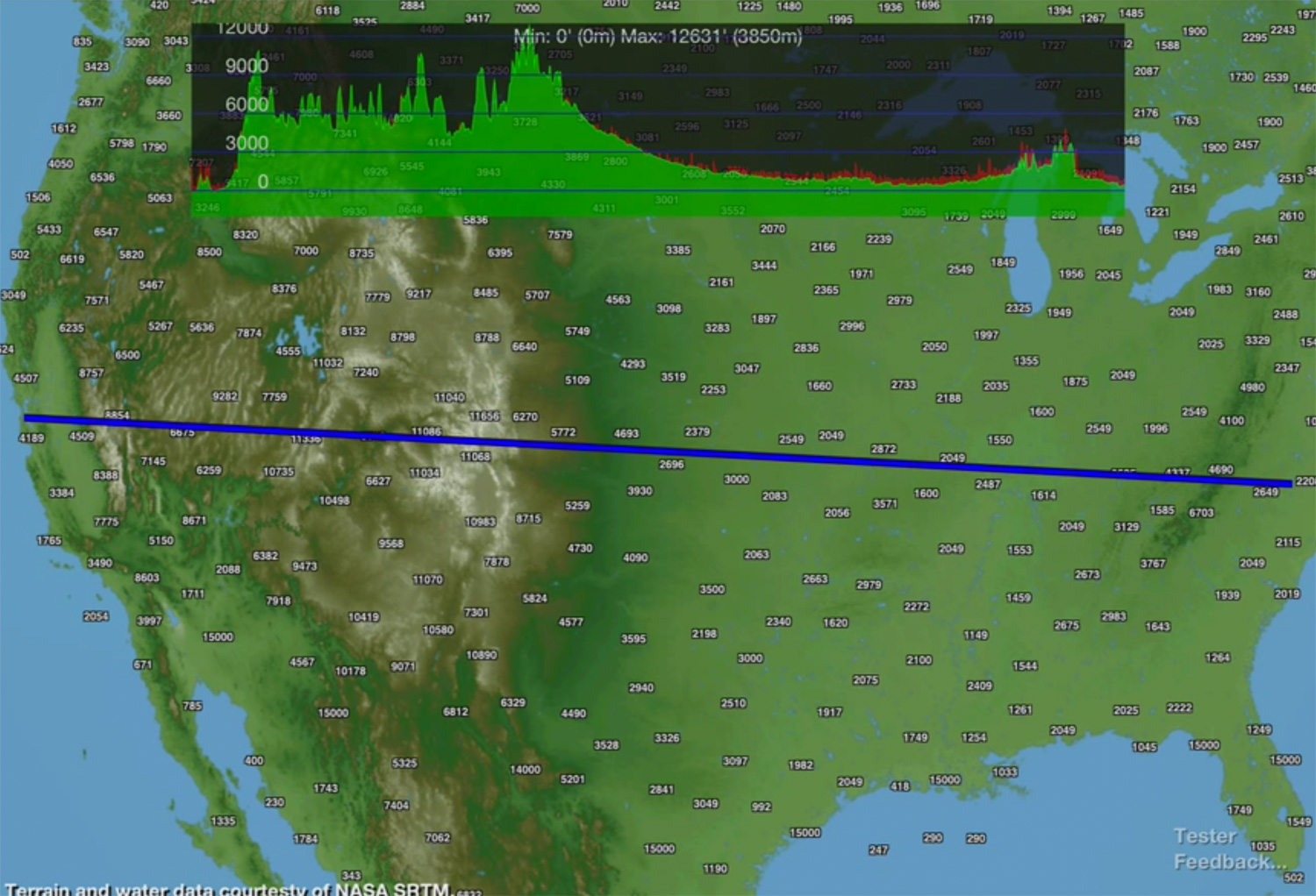
This video demonstrates the first version of the new Terrain and Obstacle Profile System in the BA3 Altus Mapping Engine:
Shown here running on iPad 3, the system is capable of sampling from multiple terrain databases to create a profile view of terrain elevation data along an arbitrary route. In addition, marker databases may be sampled as well to supplement terrain height data with fixed tower or obstacle height data.
In an aviation app, this capability can help pilots understand minimum safe altitude on a route. In a hiking, biking or running app, it can show total elevation changes on a route. Imagine, for example, a cross section on a Tour de France segment.

