Saturday, May 9th, 2015 at 8:23 pm by ba3 — Category: Uncategorized
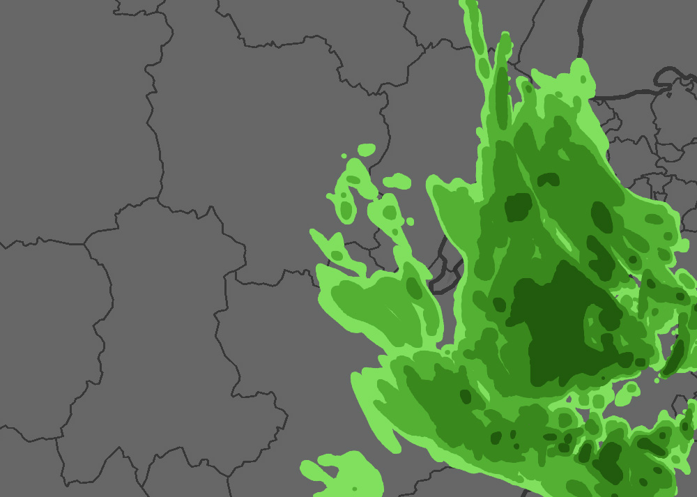
We’ve exposed a pattern of higher fidelity rendering of weather by going to source data. Some of the benefits are:
- Higher resolution look and feel
- Faster downloads
- Flexible color display
The first step in getting these benefits is ditching pre-rendered raster images typically used in weather display and understanding the data model and common formats underlying different products like radar, temperature, precipitation, and wind speed and direction. Our knowledge base exposes a process of using publicly available tools so data can be extracted into simple, compact formats that can be easily read in a client application.

At runtime a reprojection and configurable sampling, like bilinear sampling, can be used to create a smoother look without the extra data that would be needed to get a similar result with pre-rendering weather images.
An added benefit is the ability to color and process the data on the fly. One feature this enables is configurable or region-specific units like metric vs standard. Another feature is runtime computation of derived data layers like specific hour increments of precipitation from source cumulative precipitation data.
This feature will get even more powerful in the future.
If you have questions about Altus products and services, the demonstration code or licensing, please contact us at: [email protected]. Also, any feedback, comments or suggestions that you have are always greatly appreciated.
