Saturday, April 25th, 2015 at 9:25 am by ba3 — Category: Uncategorized
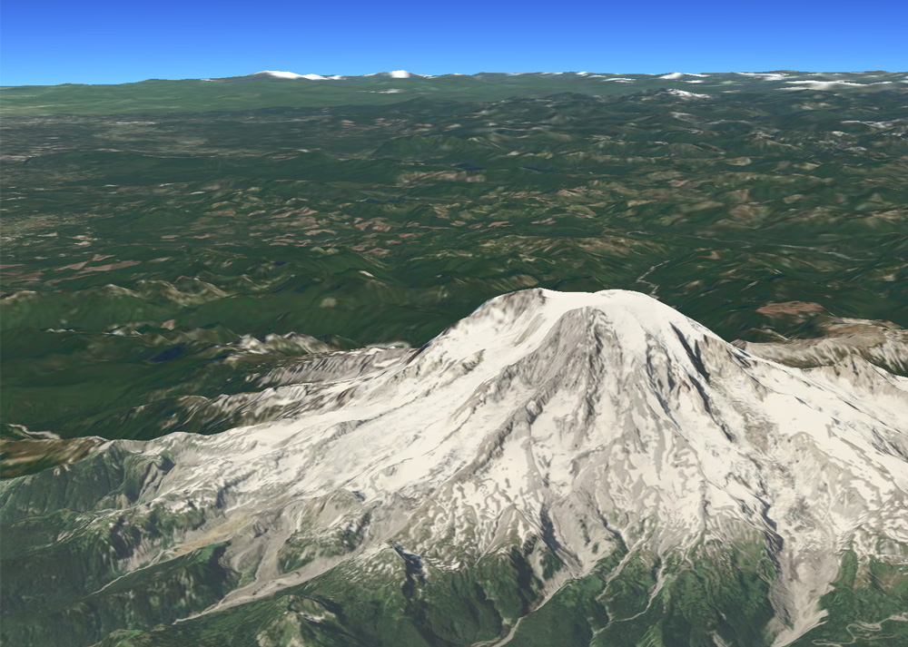
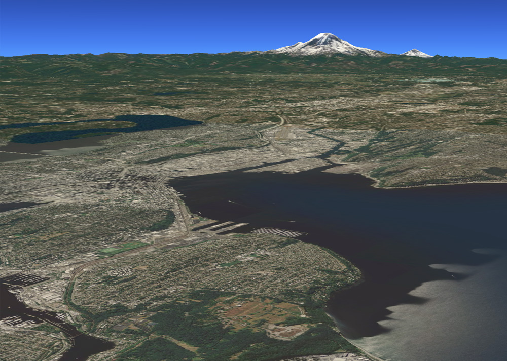
Altus 2.0 implements synthetic vision - a realistic view of terrain with the camera at any altitude and orientation. Display synthetically colored terrain with your own custom colormap, or drape any tile set over the terrain in real time. The image shows MapBox Satellite overlaid on the terrain. Use your own terrain data, or terrain data derived from a variety of publicly available sources. Terrain data may reside on device or stream in from the Altus terrain server.


If you have questions about Altus products and services, the demonstration code or licensing, please contact us at: [email protected]. Also, any feedback, comments or suggestions that you have are always greatly appreciated.
