Wednesday, February 5th, 2014 at 5:51 pm by ba3 — Category: Demo
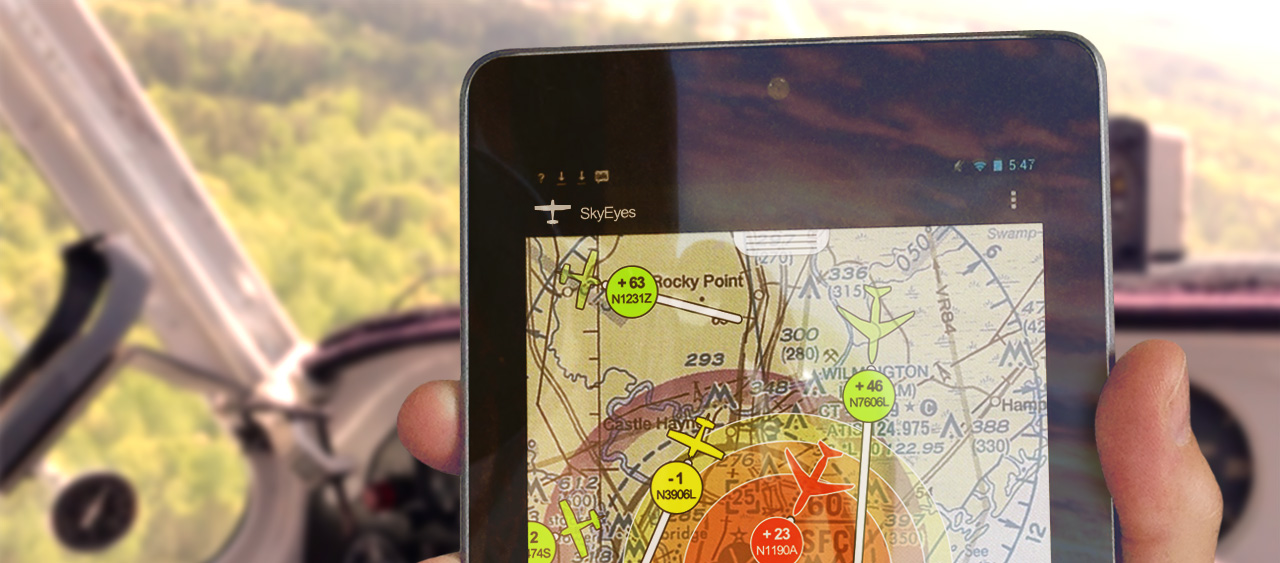
Let’s say you are an app developer who is writing an app for iOS, Android and/or Windows 8. And let’s say that you know that some of the time your app will not be connected to the Internet. Your users might be operating in a rural area, or an undeveloped country, or on the ocean or in a mountainous area with poor coverage. You need your users to be able to see the map even if disconnected.
What this means is that you cannot rely on the Internet to stream in tiles for you map. As soon as the Internet connection gets disrupted, you lose your ability to load tiles and your app goes blank.
With the BA3 Altus Mapping Engine, you actually have three options available in this situation:
- The most common solution is to use an MBTiles file. An MBTiles file gives you a way to take a group of tiles for a map from the server and package them as a single file for offline use. There are limits — the larger the geographic area you include, or the more levels you include in an MBTiles map, the bigger the file. But within limits it gives you a way to do offline maps very easily. The BA3 Altus Mapping Engine is perfect for displaying offline MBTiles Files in a high performance way.
- You can use a vector file produced by BA3′s MapShop product. Vector files are very compact compared to tiles.
- You can use your own raster image that you process through METool as your base layer. The raster image might be a scanned chart or map, an aerial photo, a GeoPDF or GeoTiff, etc.
If you want to go the MBTiles route, the FAQ shows you how to create your own MBTiles files.

If you have questions about Altus products and services, the demonstration code or licensing, please contact us at: [email protected]. Also, any feedback, comments or suggestions that you have are always greatly appreciated.
