Wednesday, December 18th, 2013 at 3:12 pm by ba3 — Category: Demo Tools
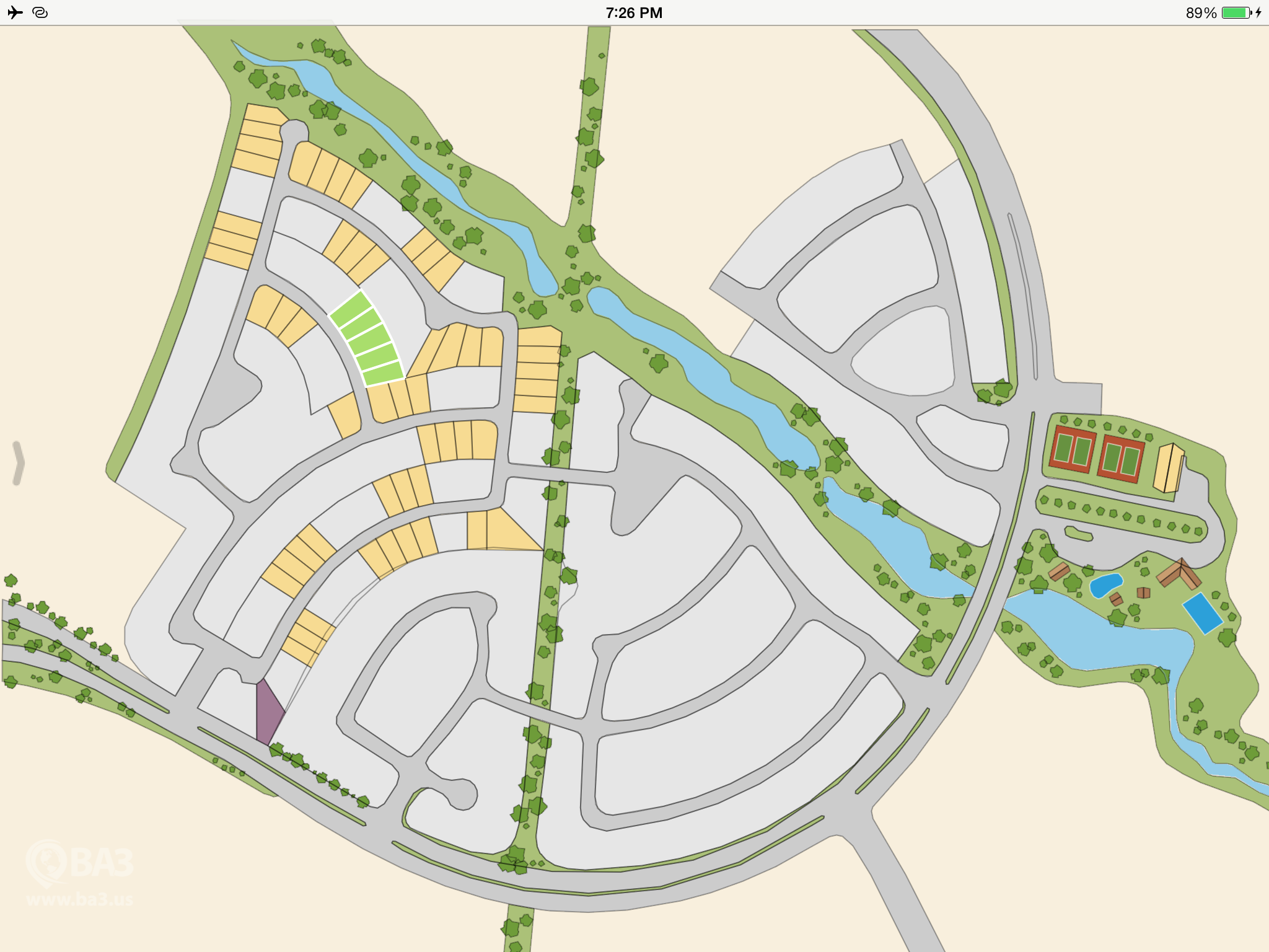
The Altus Mapping Engine is able to display fine geospatial details cleanly and easily. For example, the Lots application can display and manipulate real estate lots…
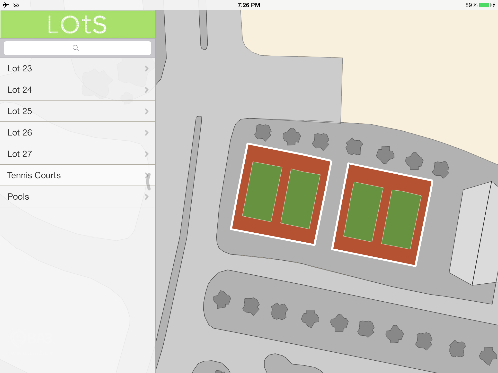
 And zoom in tightly…
 What if you want your map to zoom even closer, for example to show floor plans?
We have recently had requests to display small features, like floor plans, in the Altus Mapping Engine. For example, one developer had generated level 21 tiles (saved in an MBTiles file) containing the floor plan for the rooms of a building.
It is possible and easy to display things like this in Altus. On the raster side, start with any of the tutorials that display MBTiles. Generate your tiles with something like TileMill to create an MBTiles file. Then modify the tutorial as shown here:
mapView.setMinimumZoom(0.000001);
mapView.addMBTilesMap("DC", targetFileName, "grayGrid", ImageDataType.kImageDataTypePNG, false, 2, MapLoadingStrategy.kLowestDetailFirst);
The minimum zoom defaults to 0.000175, so to view finer details that constraint needs to be eliminated. The call to setMinimumZoom handles that. The use of kLowestDetailFirst in the call to addMBTilesMap makes sure the low-level tiles are visible if your MBTiles file does not contain the tiles at level 1, 2, 3 etc.
On the vector side, you can run your floor plans through BA3′s MapShop and then set the minimum zoom as shown.
In the current version of the engine, you may note that gray grid lines distort slightly as the engine approaches the limits of floating point precision. If you have a big project that needs things like that addressed, please let us know.
If you have questions about Altus products and services, the demonstration code or licensing, please contact us at: [email protected]. Also, any feedback, comments or suggestions that you have are always greatly appreciated.
